We’ve had some fascinating results come in from a National Vegetation Classification (NVC) survey performed in 2019 by our good friend Graeme Lyons.
The NVC survey seeks to create a robust baseline for assessing future changes in the rewilding area by using comprehensive vegetation mapping. The survey describes, maps, and categorises different vegetation communities, and can also be used to map the distribution and abundance of any rare or scarce vascular plants.
When we perform this survey again in future years – maybe in 3 or 5 year intervals – it will provide great insight into how the habitats in the rewilding area are changing over time. Outputs from the NVC survey can also be simplified into more basic habitat maps, or used in a variety of other spatial analyses and applications.
The NVC survey has required an incredible amount of time to process and analyse, so we only had our first look at the results a few months ago. Below are some of the key highlights from the 2019 work.
The rewilding area turned out to be a complex site to perform the survey on. To accurately map the different communities in the area, Graeme had to create around 1200 different custom polygons.
Below is an example of the incredible detail captured by Graeme – the map he has created here covers around just 20 hectares, but includes hundreds of polygons. A huge thanks to Graeme for going above and beyond to capture this detail.

The NVC concludes that “the site is exceptionally complex”, and has identified nearly 50 separate NVC communities.
There are two types of particularly interesting vegetation assemblages in the rewilding area at Wild Ken Hill. One is the arable plants that typically do well on sandy soils – more on this below. The other are the vascular plant species with conservation status that we find on the acidic soils (i.e. the healthland).
We don’t think rewilding should be at the expense of existing conservation interest; if these assemblages don’t appear to be thriving in the new rewilding system, then we may have to consider mechanical intervention or adapting the grazing regime. Having a baseline survey, and repeating these surveys in the future, will give us the evidence we need to make these decisions.
The outputs from the NVC survey will also allow us to track the composition of habitat types in the rewilding area over time. The detail in the survey can be aggregated to provide an overview of the mix of broad habitats in the rewilding area.
| Broad habitat type | Area (hectares) | Percentage % |
| Arable | 157.4 | 37.2 |
| Aquatic | 0.08 | 0.02 |
| Bare | 0.0041 | 0.00 |
| Dune | 0.41 | 0.10 |
| Wetland | 1.52 | 0.36 |
| Grassland | 50.7 | 12.0 |
| Heathland | 0.37 | 0.09 |
| Infrastructure | 2.94 | 0.69 |
| Scrub | 14.9 | 3.53 |
| Tall herb | 2.12 | 0.50 |
| Woodland | 192.8 | 45.5 |
| TOTAL | 423.3 | 100 percent |
It will be fascinating to compare these 2019 results with those in the future, hopefully demonstrating the success of the rewilding approach in creating new and valuable habitats such as scrub and wetlands.
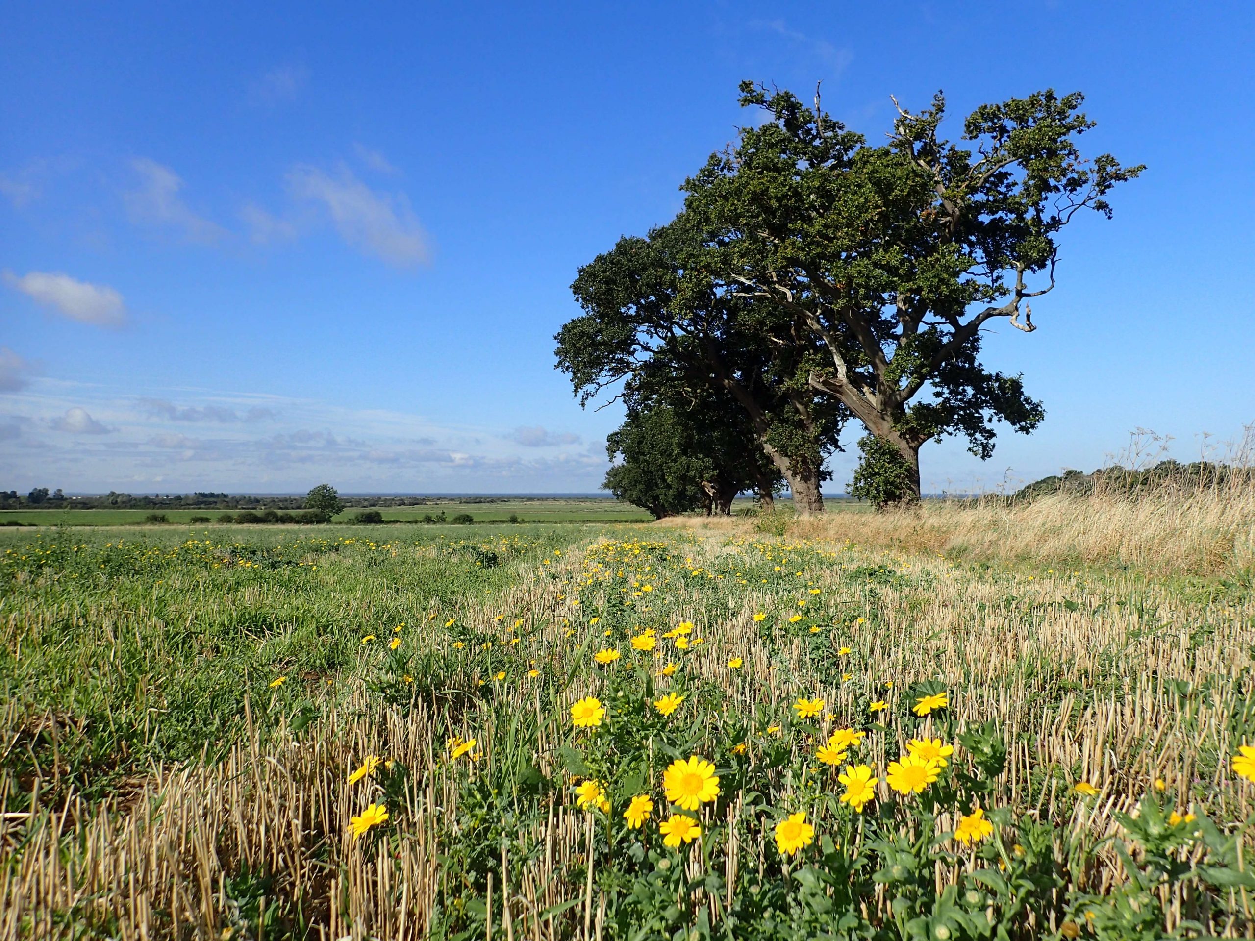
Another great output from the NVC was proving that Wild Ken Hill is in fact internationally significant for arable plants. Graeme was able to identify the following list of rare arable plants: Smooth Cat’s Ear, Annual Knawel, Common Cudweed, Corn Spurrey, Field Woundwort, Night-flowering Catchfly, Hound’s-tongue, Stinking Chamomile, Swarf Spurge, Corn Marigold, Prickly Poppy, Bur Chervil, Rye Brome, Gold-of-pleasure, and about 15 more.
What a fantastic set of names these plants have. Together they achieve 106 points on Plantlife’s Arable Plants Index, with 90 points being required for international significance. For many of these, the NVC has captured their exact mapping across Wild Ken Hill at the point of surveying.

It is incredibly helpful to have the geospatial mapping of these rare arable plants, as when we perform this survey in the future, we can analyse the changes at a fine level detail to assess whether these rare plants are succeeding. We won’t be afraid to intervene or change our approach if necessary to conserve such species.
Thanks again to Graeme, and be sure to follow us on social media for more regular updates on the research and monitoring we are performing at Wild Ken Hill.